The Automated Weather Observing System is a collection of sensors which measure and broadcast weather data to help meteorologists, pilots and flight dispatchers prepare and monitor weather forecasts, plan flight routes and provide necessary information for correct takeoffs and landings. AWOS units provide a minute-to-minute update to pilots by VHF radio or nondirectional beacon. Each hour, AWOS data is available to off-site users by means of telephone communication or satellite uplink. Both federal and nonfederal systems are in service. The Federal Aviation Administration purchased and currently maintains the Federal AWOS equipment. State, local and private organizations buy and maintain nonfederal AWOS units.
Download this PDF document for General Airport Information (PDF), or, visit the Public Use Airports map to find information, including the latest weather information, for an airport near you.
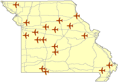
Hover over the airplane icons in the map below to get current weather information for the airport. Click on an airplane icon in the map, or click on an airport name in the list below, to go to a page with the current weather summary for the airport.
NOTE: The AWOS information can change at any time. To get the latest information for each airport, please refresh the web page in your browser.